


Super Typhoon Ragasa, the 18th typhoon of the year, will make landfall in China’s Guangdong Province on 24 September.
As of 8:00 a.m. on 23 September Beijing time, the storm was in the northern South China Sea. At that time, it was about 690 kilometers east-southeast of Yangjiang city, Guangdong. Moreover, winds near the center had reached Category 17, between 202 and 221 km/h.
Currently, Ragasa is moving northwest at 20 to 25 km/h. Therefore, it is expected to hit the coast between Shenzhen and Xuwen on 24 September. After landfall, it will likely turn west and gradually weaken.
As a result, east China will experience heavy to torrential rain. Specifically, Jiangsu, Anhui, Zhejiang, and Shandong will all face strong downpours.
In addition, rivers in Guangdong, Guangxi, and Hainan will likely rise sharply. Smaller rivers in the rainfall zone may climb above warning levels.
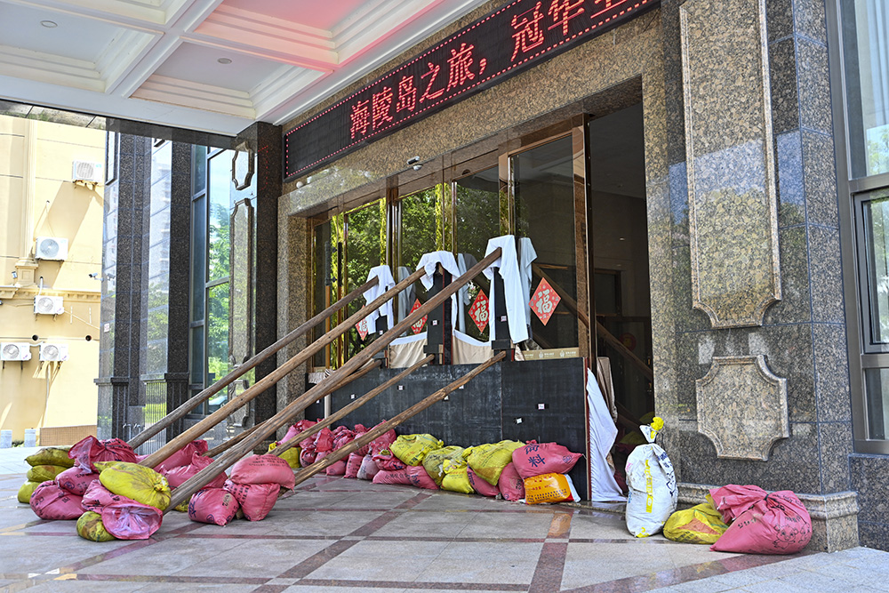
Because of these threats, China’s State Flood Control and Drought Relief Headquarters raised the typhoon emergency response to Level III on 23 September. The order applies to both Guangdong and Hainan.
Notably, Ragasa is the strongest storm worldwide this year. It will likely stay intense as it approaches land. Experts expect landfall at either super typhoon or severe typhoon strength, much like Typhoon Mangkhut. Even in the weakest case, it will strike as a severe typhoon.

Meteorologists classify typhoons formed from September to November as “autumn typhoons.” According to meteorological data, autumn storms are usually stronger and more destructive than summer ones.
This happens because ocean temperatures in the Northern Hemisphere peak from August to September. Storms gain more fuel, while cold air becomes more active in autumn. As a result, the clash of warm and cold systems increases pressure gradients and wind speeds near the storm’s center. This interaction often produces severe or super typhoons. When autumn typhoons meet cold air, they bring extreme rainfall. Therefore, the risk of serious disasters rises sharply.
Written by Yi Shen, additional reporting by Xinhua and China Daily.
If you liked this article, why not read: A Cat Mayor Brings Xiangcheng’s Culture to Life