Ruins of 1931 earthquake now part of geopark in Xinjiang
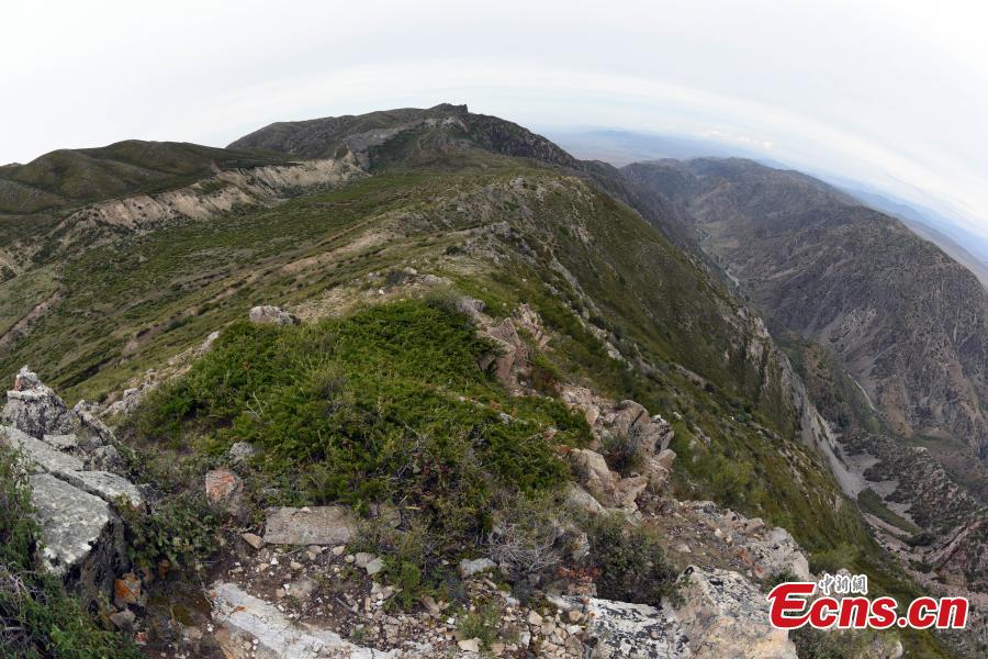

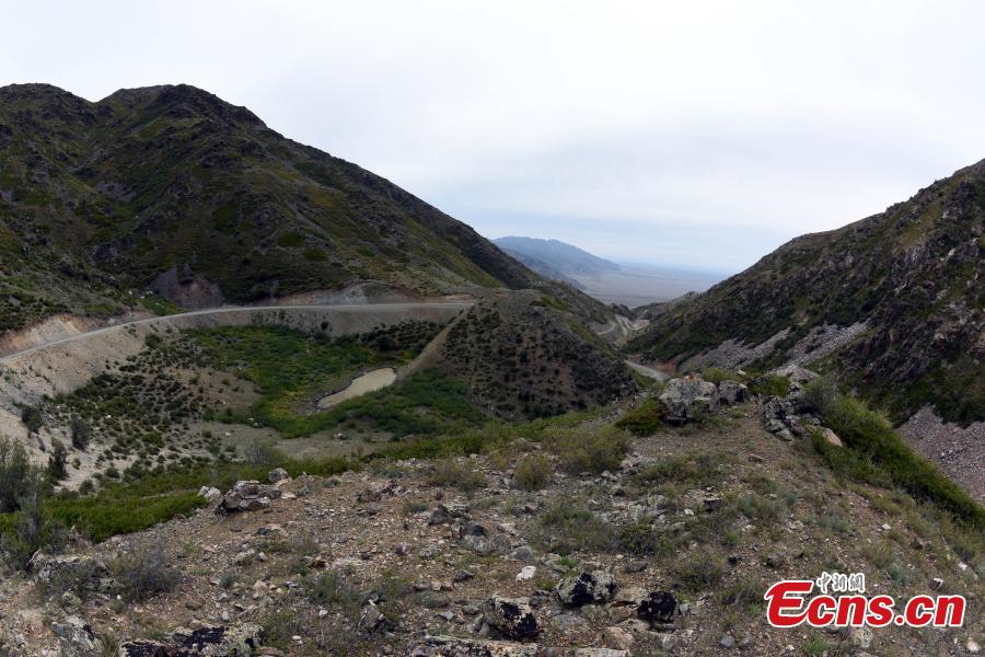
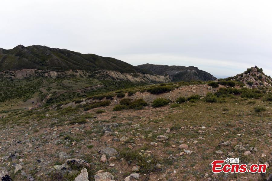

The ruins of a magnitude 8 earthquake that hit Fuyun County, Northwest China’s Xinjiang Uygur Autonomous Region on August 11, 1931, as photographed on Aug. 20, 2019. A 159-kilometer surface rupture along the Koktokay-Ertai fault zone is today part of the Koktokay National Geopark.
Ecns.cn
Other posts by Ecns.cn
Contact author
blog comments powered by